Indoor Mapping, Localization and Navigation
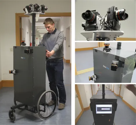
Multiple projects regarding indoor mapping and localization in GPS denied environments have been successfully finished at the Chair of Media Technology. One example is the NAVVIS project, which completed in 2015. During the time of the project a mapping trolley was developed, carrying multiple cameras and LiDAR sensors to capture the environment. The data was processed offline in order to create a 3D reconstruction using the recorded point cloud and RGB information from the images. A smartphone app has been developed which can be used to orientate inside mapped buildings and to guide to desired places. The NAVVIS project has been successfully continued to the start-up NavVis Gmbh, which is now a leading company for indoor mapping solutions.
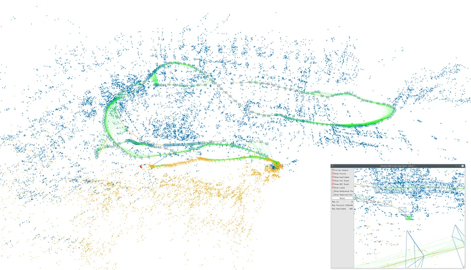
The descendent of the NAVVIS project is VIPE, which deals with the exploration of terrain using visual and proprioceptive clues in the Valles Marineris on the planet Mars. In cooperation with the Deutsches Forschungszentrum für Künstliche Intelligenz GmbH (DFKI) and the NavVis GmbH a collaborative SLAM system for different types of robots should be developed. Each robot is equipped with a panoramic camera and is running its own visual SLAM task. The created maps are then exchanged using efficient feature compression and finally merged in order to generate a joint map for all robots.
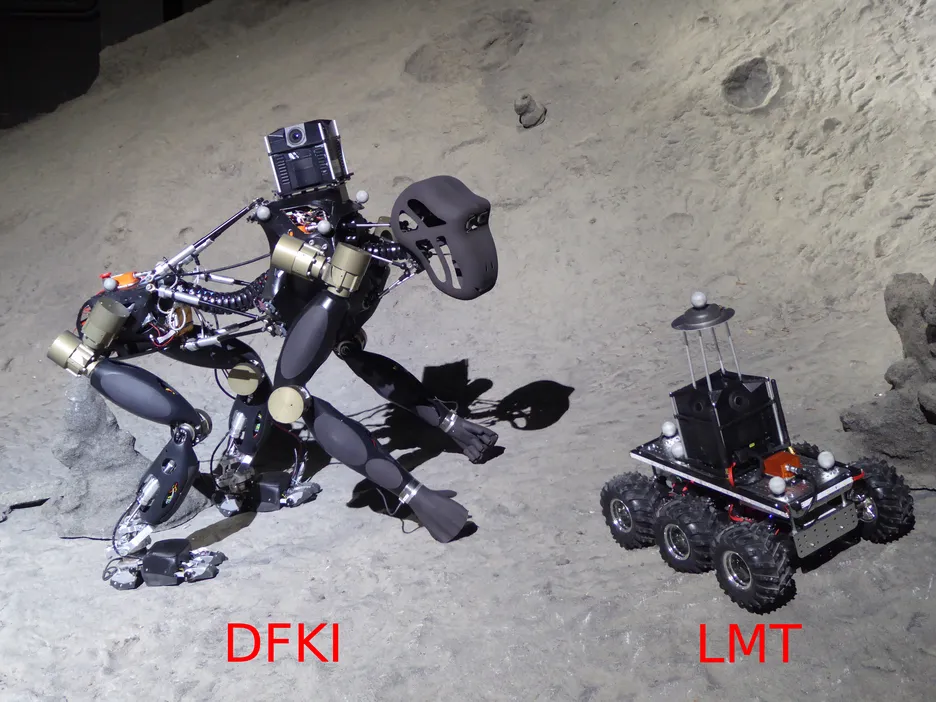
During the project the DFKI developed Charlie, a hominid robot, and the LMT developed a rover. On both systems a panoramic camera is mounted. The robots can be seen in the figure below, which was recorded in the Space Exploration Hall of the Robotics Innovation Center of the DFKI in Bremen.


